Building Information Modeling (BIM)
BIM (Building Information Modeling) is an intelligent, 3D model-based process that gives architecture, engineering, and construction (AEC) professionals the insight and tools to more efficiently plan, design, construct, and manage buildings and construction projects. Here’s how we use BIM:
- 3D Renderings & Animations
- 3D Logistics Planning
- 3D Design & Constructability Review
- 3D Clash Detection
- 3D Shop Drawing Coordination
- 4D Phasing & Scheduling
- 5D Quantity Takeoff & Estimating
- 3D Earthwork Cut/Fill Analysis Daylighting Analysis
- 3D Laser Scanning Facilities Management Space & Asset Management
Drones & UAVs
Drones are used on our job-sites in a number of ways and their benefits to our job-site production have been staggering. We utilize drones to quickly conduct job-site inspections and identify potential hazards each day. We also use drones to take photos as work progresses to create as-built models of job-sites, keeping everyone informed of the changing work conditions each day.
Technology has made construction sites safer and workers more efficient. It has allowed us to increase productivity, improve collaboration, and tackle more complex projects.

VP of Strategy and Innovation
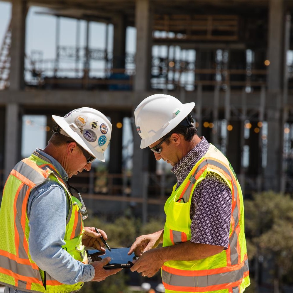
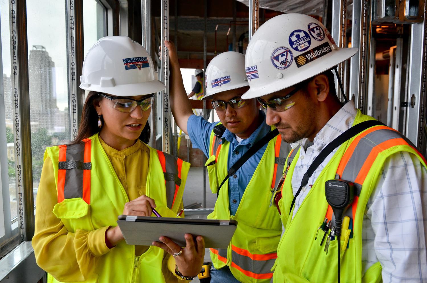
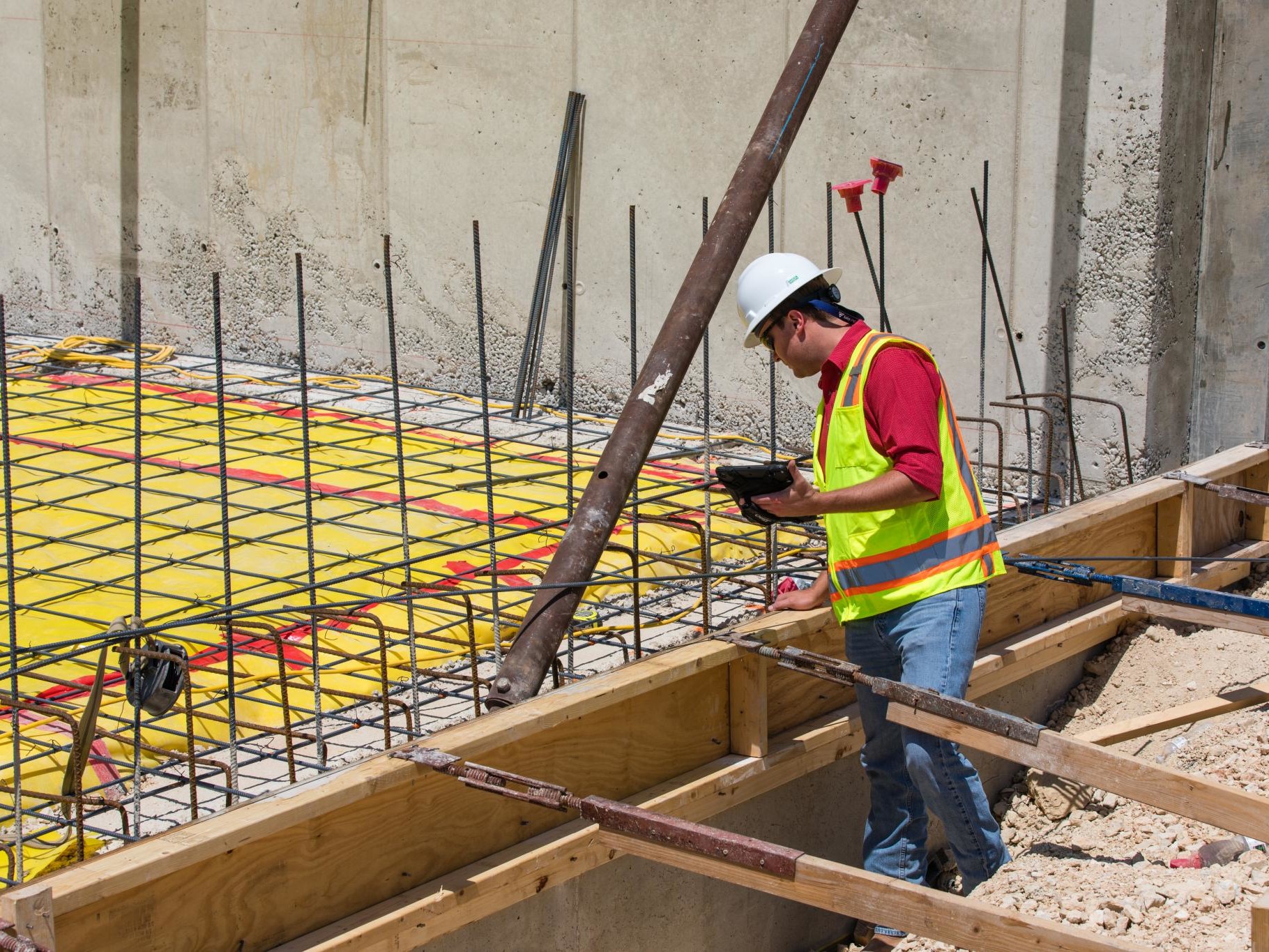
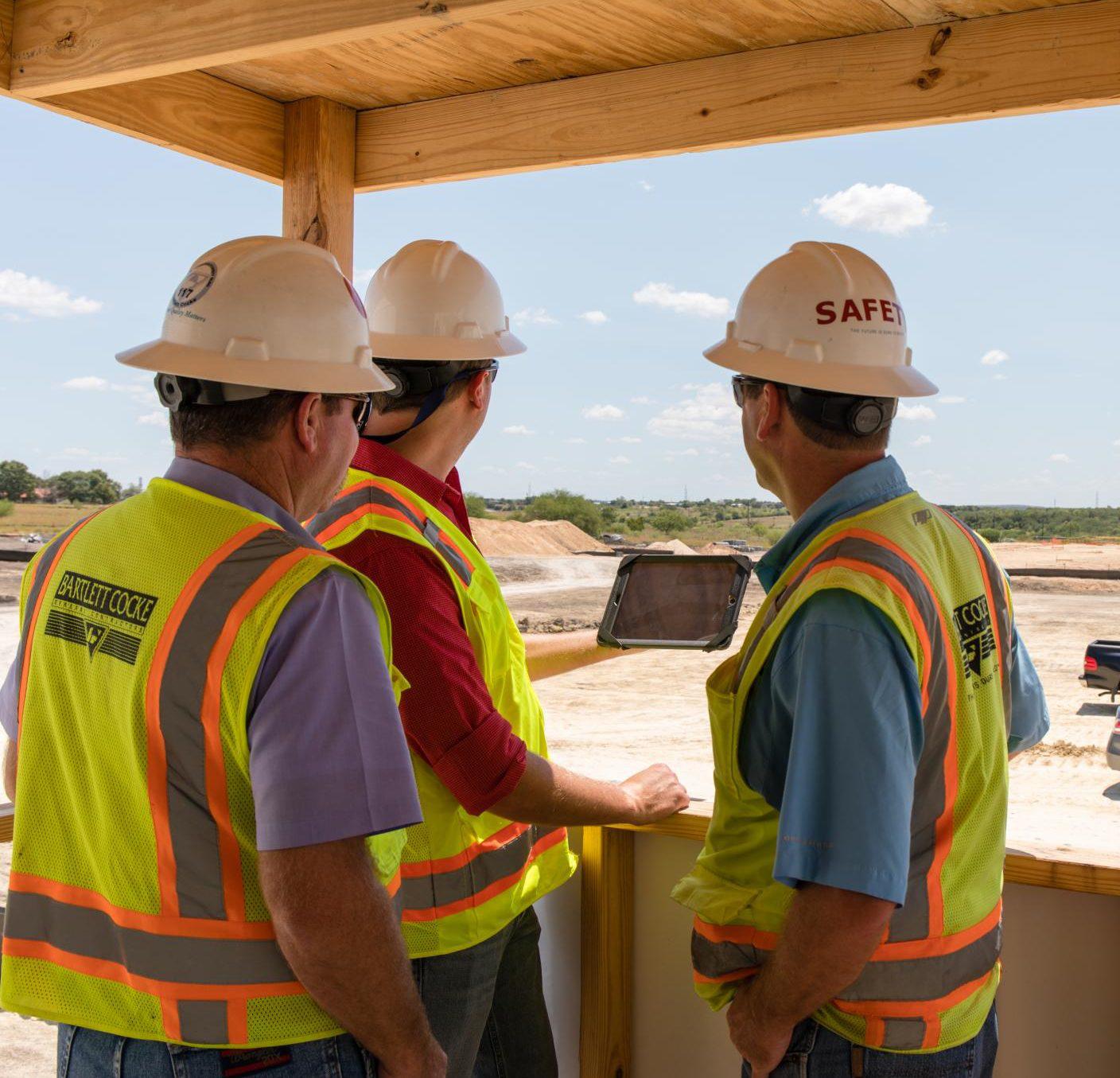
Mobile & Paperless Jobsites
We utilize software and mobile solutions to help manage every aspect of a construction project. From pre-construction to scheduling, from project management and field reporting to managing day-to-day business operations, we have a software solution in place that streamlines our processes and improves productivity.
All of our software solutions are cloud-based, allowing changes and updates to documents, schedules, and other management tools to be made in real time, facilitating better communication and collaboration both internally and with all project stakeholders.
Augmented & Virtual Reality
We are using Artificial intelligence (AI) to monitor job-site progress with real-time, actionable data to improve productivity. Our drones are equipped with high-definition cameras and LiDAR to photograph and scan the construction site each day with pinpoint accuracy. AI then uses those scans to compare against existing BIM models, 3D drawings, the construction schedule, and estimates to inspect the quality of the work performed and to determine how much progress has been made each day.
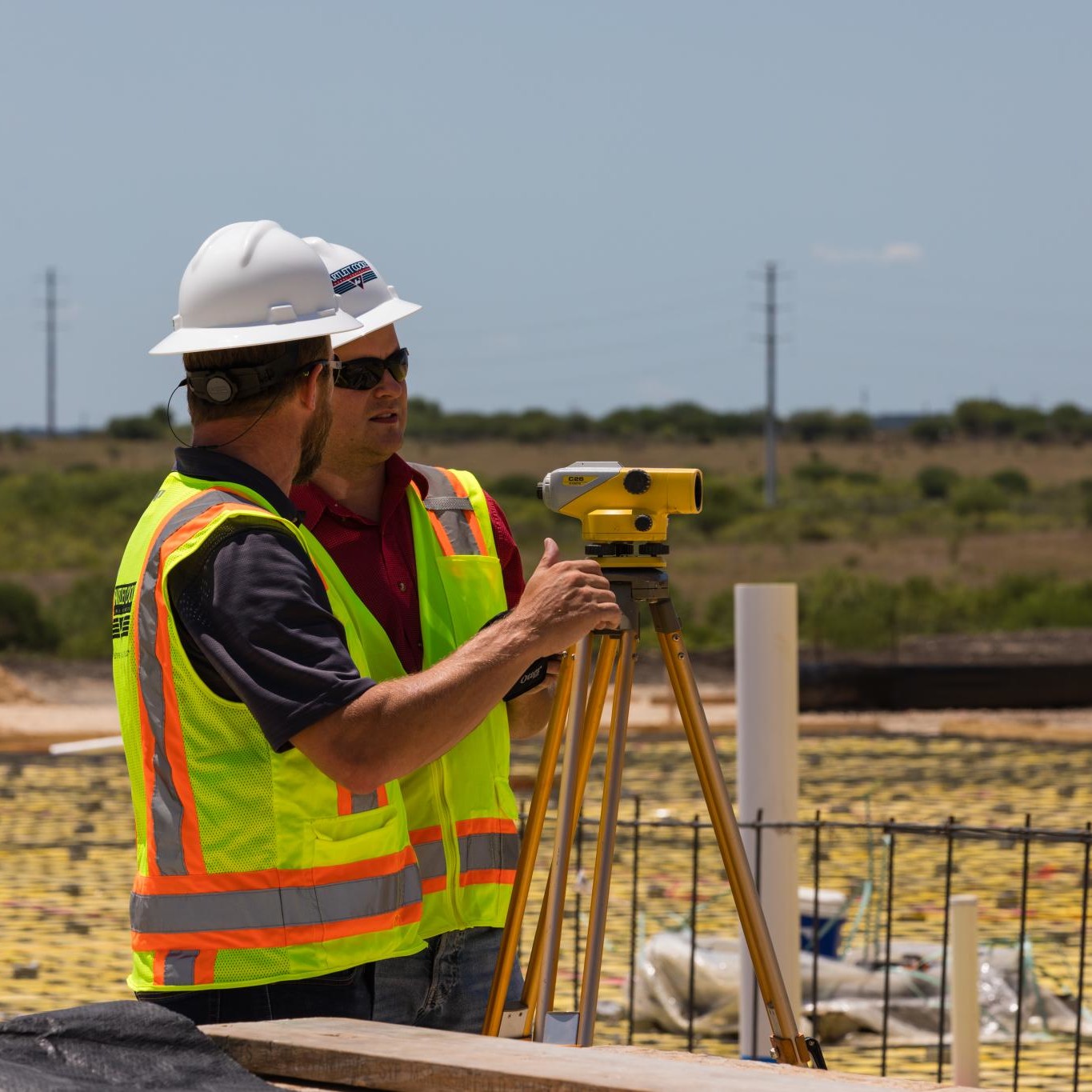
Advanced Survey
Our master surveyors utilize the latest in tech and experience to create a “layout” or “stake the location” of improvements for clients. Ever detail is considered in the horizontal and vertical location of the project improvements in coordination with our team of construction experts.
Business Intelligence
When technology and human ingenuity collide, a world of amazing things happen in construction. We are using data to make better decisions, increase productivity, improve jobsite safety and reduce risks. From preconstruction to scheduling, from project management and field reporting to managing the office, there’s solution in place to help streamline our processes and improve productivity.